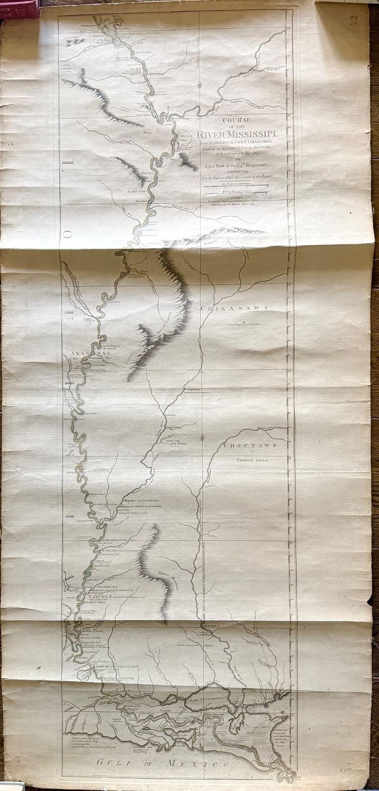
Antique engraved map of the Course of the River Mississippi
Estimated Value
$300-$900
A large antique engraved map depicting the course of the Mississippi River from the Illinois region down to the Gulf of Mexico. The title visible on the sheet reads 'Course of the River Missisipi, from the Balise to Fort Chartres...' and attributes the work to Lieut. Ross of the 34th Regiment, engraved and published in London. The map shows the river corridor, tributaries, terrain shading, settlements, and Native American nations including the Chickasaws, Chactaws, and Akansas. The engraving is finely detailed and characteristic of late 18th-century exploratory and military cartography. The sheet appears to be a separately issued map or atlas plate, likely from a historical travel or military publication.
Era
Late 18th century (circa 1770s)
Origin
England (London)
Material
Paper, copperplate engraving, hand-colored or lightly tinted ink
Condition
Fair to Good overall; visible heavy fold lines, toning, edge wear, creasing, and possible small tears or handling marks. The sheet appears intact but clearly used and aged.
Physical Details
Dimensions
Approximately 18 to 24 inches wide by 40 to 50 inches tall, based on the visible sheet proportions
Weight
Light
Authentication
Authenticity Score
Medium to High; the typography, engraving style, paper aging, and historical content are consistent with an original 18th-century map, though confirmation would require examination of paper, plate marks, and publication details.
Provenance
Likely from a British military or exploratory publication related to the Mississippi Valley, possibly based on surveys associated with the 34th Regiment and published in London in the late 1770s. Exact provenance cannot be confirmed from the image alone.
Historical Significance
This type of map is historically significant as an early printed depiction of the Mississippi River corridor during the colonial and pre-statehood period. It reflects British military and geographic interest in North American interior routes, Indigenous territories, and strategic river navigation shortly before and during the American Revolutionary era.
Restoration Notes
- •No obvious professional restoration visible
- •Possible old fold lines from original storage or binding
- •Minor edge wear and surface toning consistent with age
This identification and value range are AI-generated research aids, not authentication, certification, or a formal appraisal. Learn about the limitations and when to consult a qualified professional appraiser.
Research this item further
Related Identifications
Browse all →
Turquoise cluster ring

Turquoise-style floral cluster ring
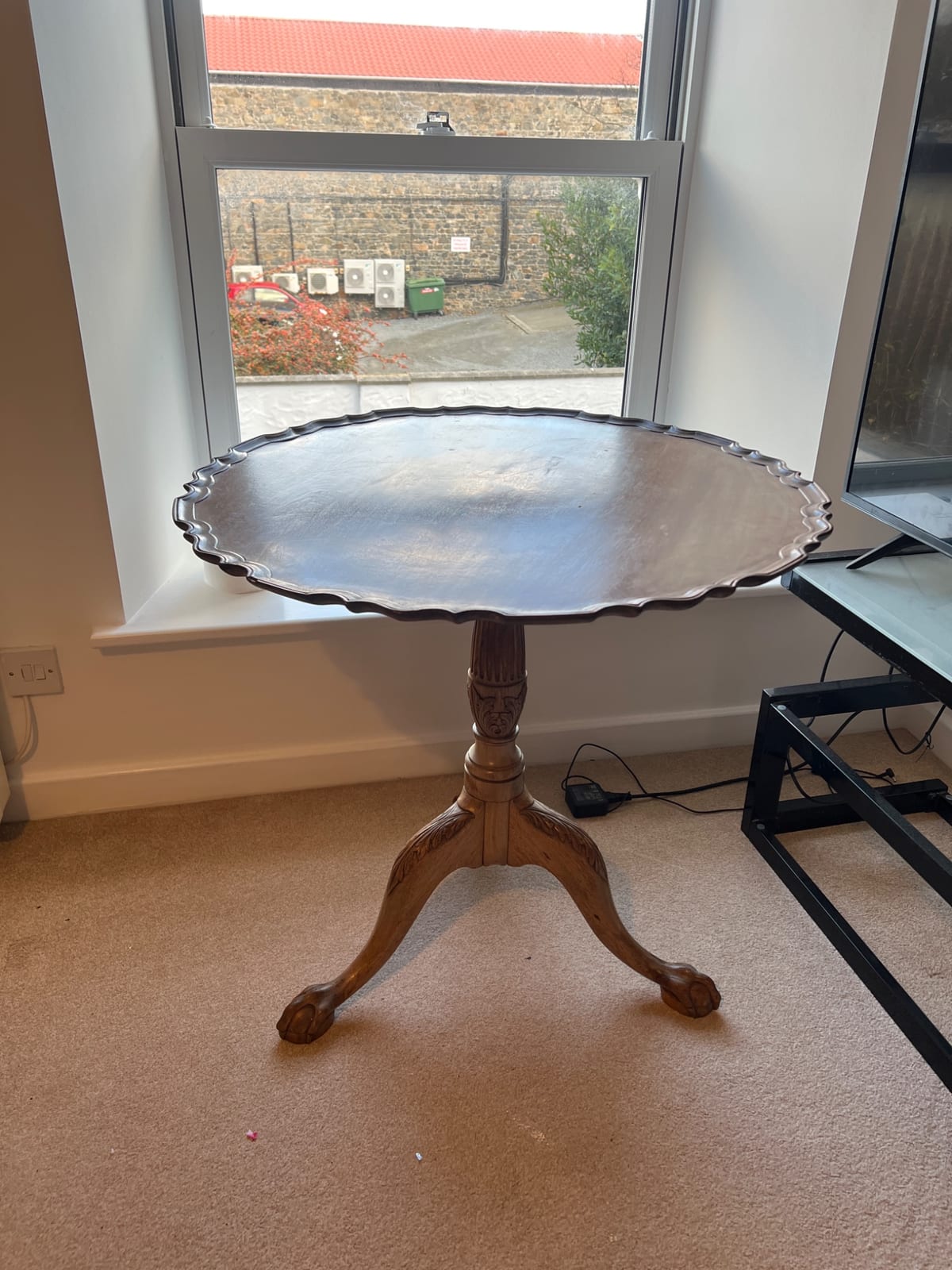
Georgian-style tripod tilt-top occasional table
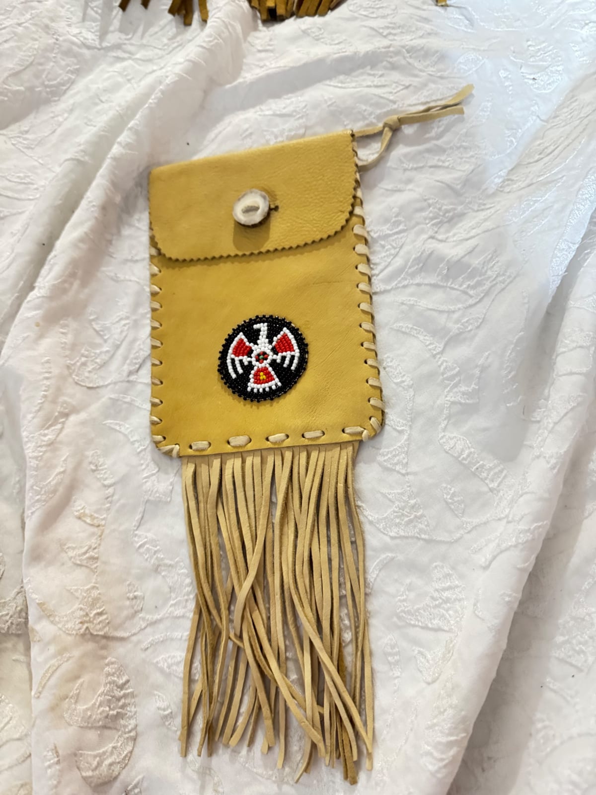
Native American-style beaded leather pouch with fringe
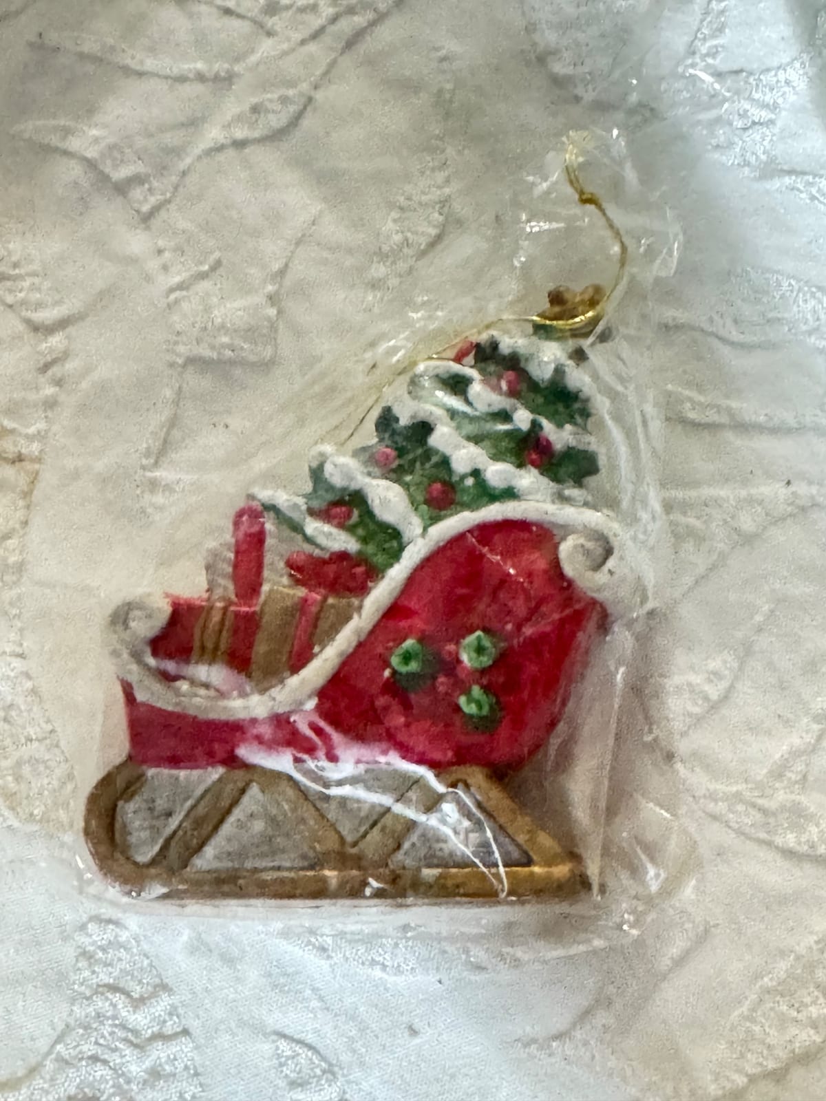
Miniature Christmas sleigh ornament
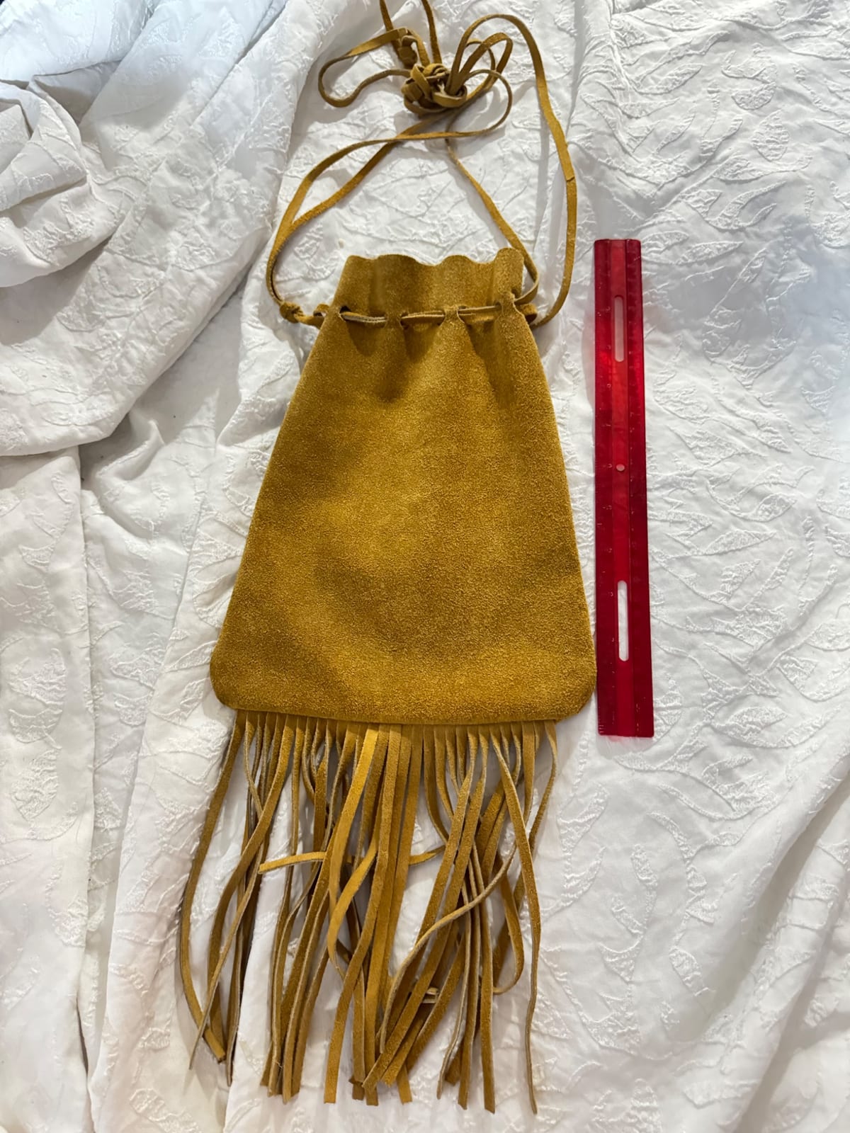
Suede fringe drawstring pouch or small shoulder bag